 Download
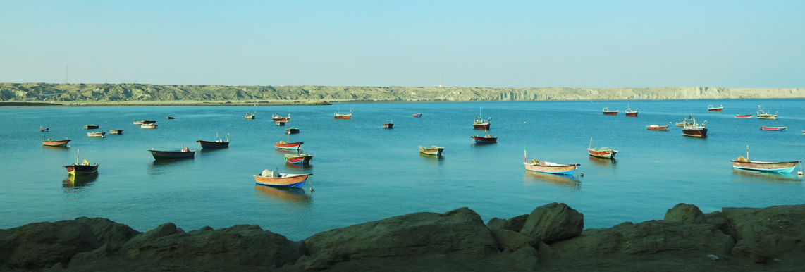
Khor-e Bahu international wetland and Gwadar Bay with an area of 29500
hectares are in the farthest end of the country’s southeast in Sistan
and Baluchestan province. They have been shaped on the west side of
Gwadar Bay where the Bahoukalat river joins the Oman sea. The Khor-e
Bahu wetland is located in an 85km distance from Chahbahar and close to
the Iran-Pakistan coast. Its eastern part is in Pakistan and western
part in Iran. For this reason, this area is very important for security
and strategic reasons. Khor-e Bahu and Gwadar estuaries are located in
the Iranian part, and Jiva estuary is located in the Pakistani part of
the bay.
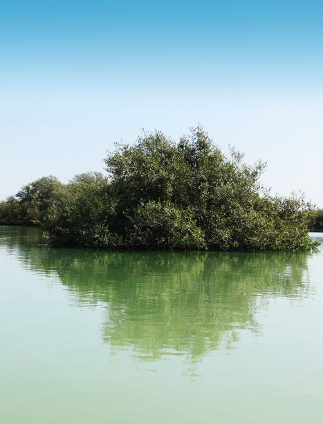
This bay is reckoned as a part of the Gando Protected area, which
enjoys unique ecological values. This ecosystem totally includes the
Bahukalat river, estuary, and Gwadar Bay. With the code of 1006, it fell
into the list of Ramsar’s international wetlands in 1999. It was also
classified as a protected region in the classification of the Department
of Environment.
This wetland has been classified into the sea-coastal wetlands
group. It encompasses 60km of the Bahukalat river, Bahu estuary, Gwadar
estuary, and a part of Gwadar Bay. It is also important for its marine
creatures, especially dolphins’ immigration, mangrove forests, aqueous
birds, and desirable habitation and harborage conditions. It is also
counted as the biosphere storage of the region and registered in the
wetlands’ global system with the R01921 international code.