 Download
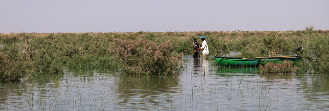
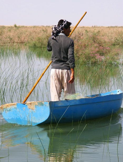
The Hamoun International Wetlands are
among globally important wetlands, with an area of about 5700 square
kilometers and depth range of 1 to 5 meters, located in the desert
region of eastern Iran in the Sistan region and are considered the
largest freshwater lake in the Iranian Plateau. The Lake consists of
three parts called Hamoon-e Puzak in the northeast, Hamoon-e Saberi in
the north and Hamoon-e Hirmand in the west and southwest. Large parts of
Hamoun-e Puzak and Hamoun-e Saberi are located in Afghanistan and the
remaining parts in Iran. The water level in each of the Hamouns varies
depending on the volume of incoming water, rainy seasons, dry years and
wet years, and is a function of the water flowing in the Hirmand River,
of the outflows of dams, and of other seasonal rivers. In wet years and
in spring following flooding of Hirmand River and its tributaries, the
three Hamouns join together and take the shape of a horseshoe.
In 1990, the southern end of Hamoun-e Puzak, Hamoun-e Saberi, and
Hamoun-e Hirmand were put on the Red List of the Ramsar Convention due
to the various threats they faced (construction of hydraulic structures
in Afghanistan, supplying drinking water and allocating water to the
agriculture sector in Iran and Afghanistan). At present, these wetlands
are faced with various problems despite the existing international
environmental treaties. In this regard, the Department of Environment
put the development of a Comprehensive Environmental Management Program
for these wetlands on the agenda. It will be developed with the
cooperation of Conservation of Iranian Wetlands Project (CIWP) in the
form of a joint project with the UNDP/GEF and with the cooperation of
all related institutions, local communities, non-governmental
organizations and a group of technical consultants.