 Download
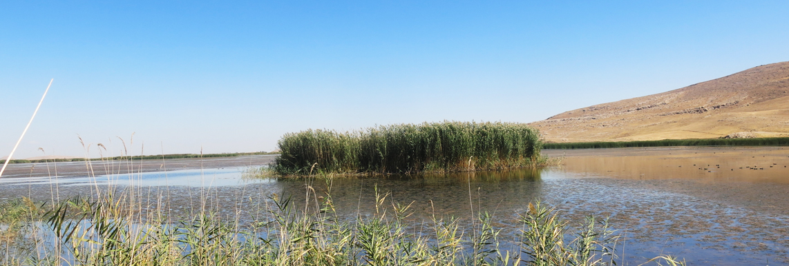
Kani Barazan wetland is located in the northern part of Mahabad River’s basin in the south of Lake Urmia. Geographically, this wetland has specifications of 46º 45' east longitude, 59º 36' north latitude, and almost 1270m altitude.
This wetland is a part of a wide wetland area at the downstream of Mahabad and Simine Rivers’ basins. It has been spread in the north and east of Qara Dagh village and extended to Grous Wetland. The construction of the main drainage on the eastern coast of Mahabad’s irrigation network and a dike at the tail of the northern side of the wetland has separated Kani Barazan wetland from the rest of the adjacent wetland lands.
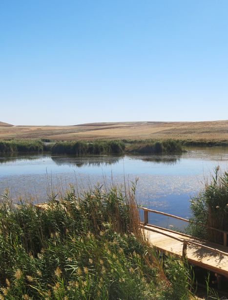
Qara Dagh, Bafarvan, Ghale Hasan, and Khorkhore are the villages around the wetland. The wetland is located in the administrative domain of Mahabad town in West Azerbaijan province.