 Download
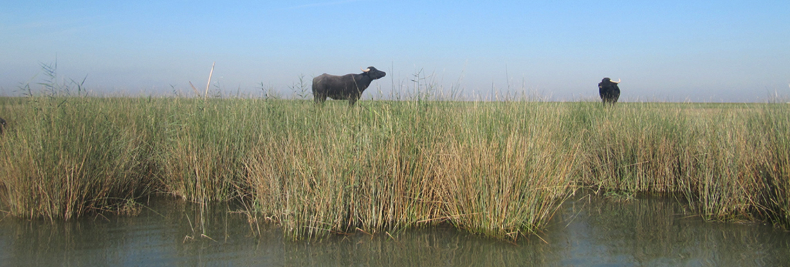
Shadegan wetland (5377 sq.km) is a vast
environmental system comprising fresh and brackish wetlands, as well as
the inter-tidal Khur Musa bay and off-shore islands. It lies at the
downstream reach of the Jarrahi river catchment, in between the
Shadegan, Abadan and Mahshahr cities in Khuzestan Province. At its
downstream side, the wetland is connected to the Persian Gulf. The
wetland is the largest Ramsar site in Iran (designated since 1975), and
has been recognized as an internationally important wetland that
supports significantly rich biodiversity. The designated area of the
wetland in Ramsar Convention is 400,000 ha, excluding marine and
littoral areas in Persian Gulf. Part of the wetland with the area of
327000 ha (south to the Darkhuin-Shadegan road) is designated as
Wildlife Refuge since 1974 and is protected as a no hunting area. About
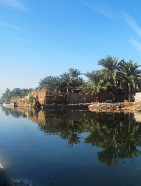
100,000 local people depend fully or partly on the resources from the
wetland for their livelihoods. More than 80000 ha of the wetland reed
beds in the north of Darkhuin- Shadegan road are in free zone. Hence the
common activities such as harvesting reed, fishing, etc… are permitted
and carried out by the locals. Nonetheless, in order to preserve the
integrity of this management plan and considering whole ecological
features, the area of 527000 ha, including the littoral and Khour mousa
areas has been taken into account for planning Shadegan management.
Obviously this area includes the entire protected areas as well as
international territory of the wetland. About 100,000 local people
depend fully or partly on the resources from the wetland for their
livelihoods.