 Download
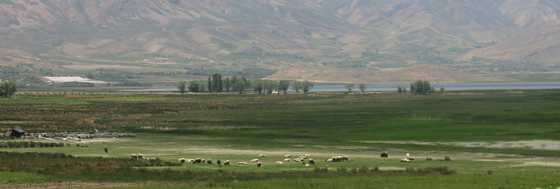
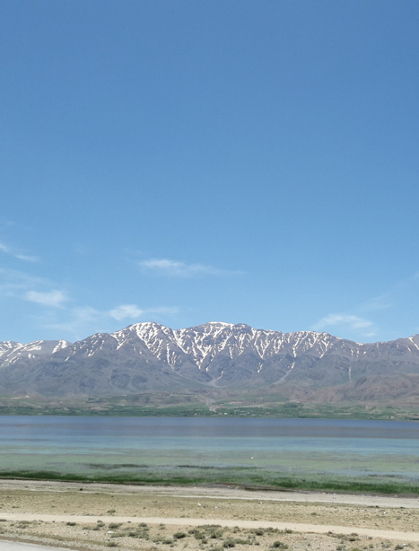
Chaghakhor international wetland and its periphery lands, with geographical characteristics from 31º 54' to 31º 56' north latitude and from 50º 52' to 50º 56' east longitude are located in the east of the Chaharmahal and Bakhtiari province in a 60km distance from the south of Shahrkord (the province capital). The basin of this wetland extends between the 31º 50' 13.48" and 31º57'9.14" north latitude and 50º 48' 21.25" and 50º 57' 26.12" east longitude from the north to the south of the wetland. In a holistic view, the topographies of the lake and its surrounding lands show that it has developed the middle mountainous hole and plain, and the heights of Bar Aftab in the north, Shapornaz in the west, and Kalar in the south have surrounded it. The drainage divide of these heights shapes the basin of Chaghakhor wetland. These heights are located in the mountainous area of Zagros. Thus, tectonic activities have been shaped, and they have enclosed almost all sides of the lake surrounding.