 Download
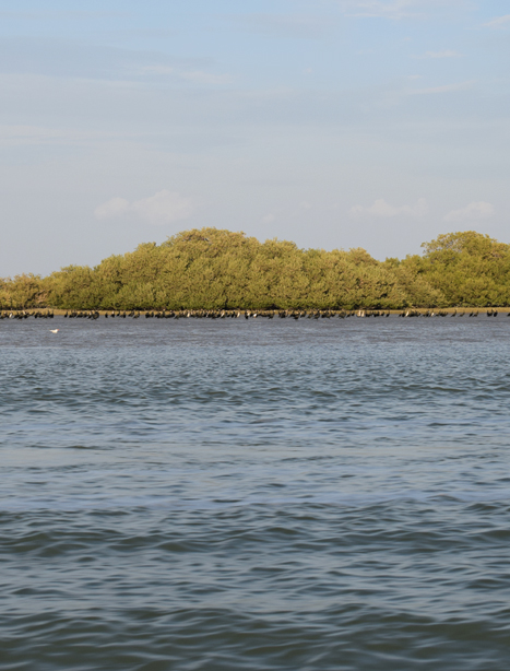
Rud Shour,Shirin and Minab International wetland, which is located at a distance of 10 to 70 Kms to the east of Bandar Abbas along the northern coast of Straight Hormuz in Persian Gulf, covers as area of 78099 acres and lies across from Hormuz island in the delta of Shour and Shirin rivers at a sea level with coordinates 27o 05' N 56o E45. This coastal region is 60 kms in length, stretching out from the northern coasts of Hormuz Strait belonging to Bandar Abbas region in the west all the way to Zarani river in the east. The mangrove forests with an area of 1700 acres are located in this region at N10,27 to 52,26 and E56,59,to 56 23.This wetland is categorized as a coastal-marine wetland.