 Download
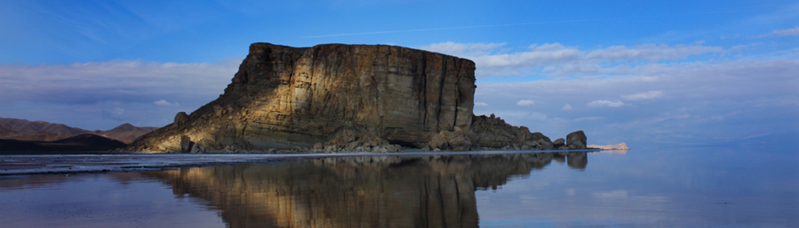
The Lake Urmia basin in the north-west Iran occupies 52000 sq.km. of mainly mountainous territories in three provinces of East and West Azarbayjan and Kordistan. The area of the Lake is 5000 sq.km and is located in between the East and West Azarbayjan provinces. It lies in the center of a closed drainage basin, with all surface and ground water draining towards Lake Urmia. The particular geology of the Basin and the high evaporative and continuous deposition of salts leads to hypersaline conditions. The Lake is surrounded by a number of freshwater wetlands, which together form an important Ecological Zone around the Lake. The basin is located at altitudes of 1280 to 3600 meters above mean sea level, the lowest part being the Lake and a sizable plain around it. The climate of the basin is characterized with cold winters and relatively temperate summers. The average precipitation of the basin is estimated at about 350 mm main part of which occurs during fall through mid-spring seasons. Precipitation in summer months is comparatively very little. The mean annual temperature varies between 6.5 oC in higher altitudes to 13.5 oC in lower altitudes. July and August are the warmest and December and January are the coldest month of the year. The annual average pan evaporation in the basin is estimated at 1500 mm and varies between 1000 to 2100 mm according to the conditions. The annual evaporation from the lake is estimated to vary between 900 to 1170 mm. The water supply to the lake is provided through 14 rivers with permanent flows and a number of waterways with seasonal flows and occasional floods. The average annual inflow into the Lake is estimated at 5300 mcm, and varies from 760 to 15260 mcm. Direct precipitation over the lake as well as groundwater seepage flows are other sources of water supply to the Lake. Due to increasing water abstraction from groundwater resources, the contribution groundwater to the supply of the Lake is increasingly diminishing. The water in the Lake is hyper saline (>200 dS/m) and is varying according to the time and location. Freshwater flows from rivers and particularly flood flows, greatly enhances the Lake’s water quality.
The Lake is a moderately shallow water body (average 5.4 meter). Its length varies between 130 to 145 km and its max width is 58 km. The range of water level fluctuation in dry and wet years is about 3 meters. Based on the several studies conducted during the last decade, while Lake’s water level is fluctuating above 1274.1 (amsl), the Lake would continue its normal ecological functions including supporting biodiversity and Artemia reproduction. If Lake’s water level falls below this elevation, these functions would be negatively affected. Worth to note is that during normal hydrological periods, to maintain this water level in the Lake would imply an inflow of 3 bcm to compensate annual evaporation. This would mean that Lake would require a minimum inflow of 3 bcm per year.