 Download
Physical specifications of the wetland
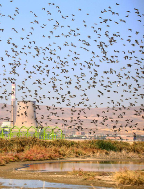
The understudy region, with a geographical situation of 37º 13' 25" north latitude and 45º 51' 38" east longitude, is located on the south coast of Lake Urmia in the suburb of Bonab town. This region has an area of 56642 hectares and an altitude of 1270m.
Climate: The considered scope is a region with long winters and moderate and relatively hot summers. Concerning the conducted studies, the region enjoys a cold semi-arid climate according to De Martonne classification.
The maximum precipitation belongs to the winter and spring seasons, and there is either no or insignificant rainfall in summer.
Based on 11-year surveys in the region and Maragheh station, the average annual rainfall is 303 mm, the average maximum temperature is 3.34 ºC, and the average minimum temperature in the coldest month of the year is 6-8º. Four months of the year are dry, and 3 months of the year are freezing. The average 10-year rainfall rate has been reported at 147mm in spring, 4mm in summer, 59mm in autumn, and 74mm in winter.
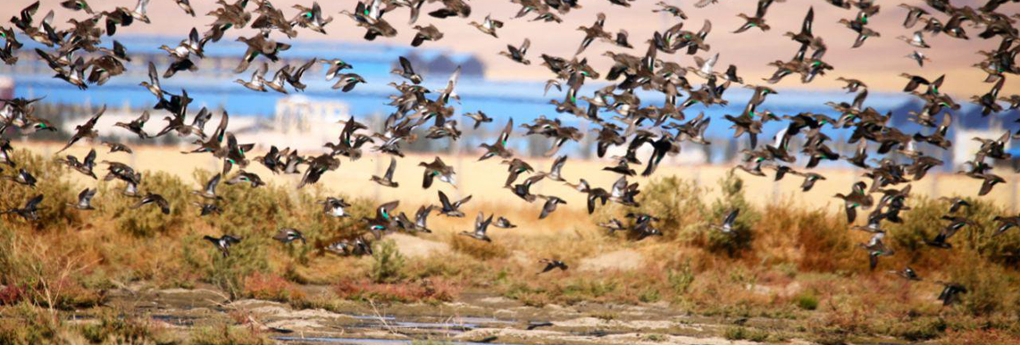
Wetland basin: Qara Gheshlagh wetland is located at the farthest ends of the basins of Zarrine and Simine Rivers, and some part of the basin currents of Sufi Chay offloads to this wetland.
Water resources: The surface water resources are as below:
Zarrine River: It is one of the most important water resources of the Qara Gheshlagh wetland. Almost 45% of this wetland’s water is supplied just by this river.
Sufi Chay River: It is one of the independent rivers of Lake Urmia’s basin and flows in Maragheh and Bonab towns. Sufi Chay river is seasonal and has water in spring if the Alavian dam of Maragheh overflows.
Mordaq Chay River: It is one of the branches of Sufi Chay River and flows in the south of Maragheh town. It has been shaped by the confluence of two rivers of Isfahan Jig Chay and Quzolcheh, in the west of Chovan village located in an 8 km distance from Meragheh’s east.
Leylan Chay River: It is one of the independent rivers under the basin of Zarrine River- Simine River basin and flows in the east and southeast of central Maragheh as well as the west and south of central Malekan. It originates from the southern foothills of Sahand Mountain. After entering the Qara Gheshlagh region, this river inflows lake Urmia in its southeast side