 Download
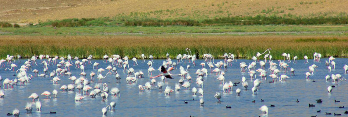
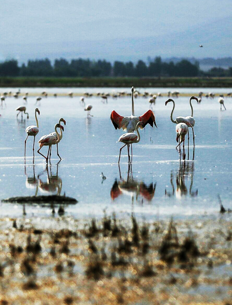
Soldoz wetland, with the geographical specifications of 37º 02' north latitude and 45º 35' 30" east longitude, is located on the south coast of Lake Urmia in the suburb of Naquadeh town. This wetland has an area of 375 hectares, with an average altitude of 1277m.
This wetland has been developed in a totally flat coastal region that was originally a part of the coastal saline plains of Lake Urmia. Of course, it is sloped on the west side towards the foothill, and its height varies from 1280 to 1285.
The main wetland has been created between two low-deep valleys on the coast of Lake Urmia. There is a low-rise extrusion on the north-east of the wetland, and the earthen dam of Soldoz has been connected to its slope. On the west side, the earthen dam leans over the slopes of the western heights.
The geology maps of the wetland area show that this region has been formed by limestone. The extrusion in the northeast of the wetland has Qom formation consisting of condensed limestone. This formation shapes the bottom stone of the plain alluvium and wetland region.