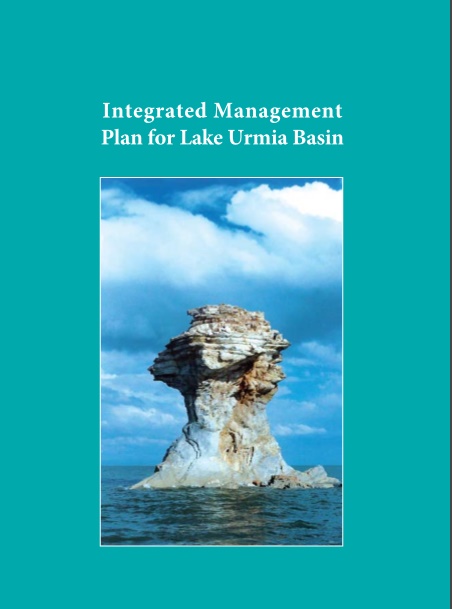
Lake Urmia (5000 sq.km) is a vast hypersaline lake in NW Iran, shared between the provinces of East and West Azarbayjan. It lies at the lowest point in the Urmia Basin (a closed drainage basin of almost 52000 sq.km, also including parts of Kordistan province). The Lake is a National Park, is one of the largest Iranian Ramsar Sites, and has been recognized by UNESCO as a Biosphere Reserve. The Lake is surrounded by a number of important freshwater-brackish satellite wetlands, several of which are also of global significance for their biodiversity. The Lake and satellite wetlands have been selected as a demonstration site for the UNDP/GEF/DOE Conservation of Iranian Wetlands Project. This project aims to demonstrate reduction of the major threats to the internationally important biodiversity of this wetland protected area through promoting ecosystem-based management, coordinated through an integrated management plan.
For the last decade, Lake Urmia has been in a critical condition, as a result of declining water levels and increasing salinity. Many of its satellite wetlands have also been damaged by infrastructure works, land conversion, pollution and decreased water inflows. These problems, exacerbated by a long period of drought, threaten the globally important biodiversity and the many benefits that the Lake provides to Society.